Incredibly detailed and accurate
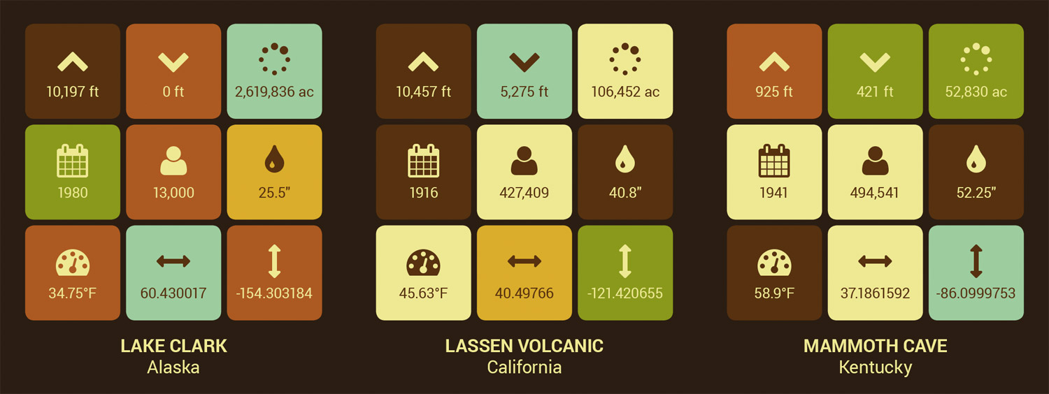
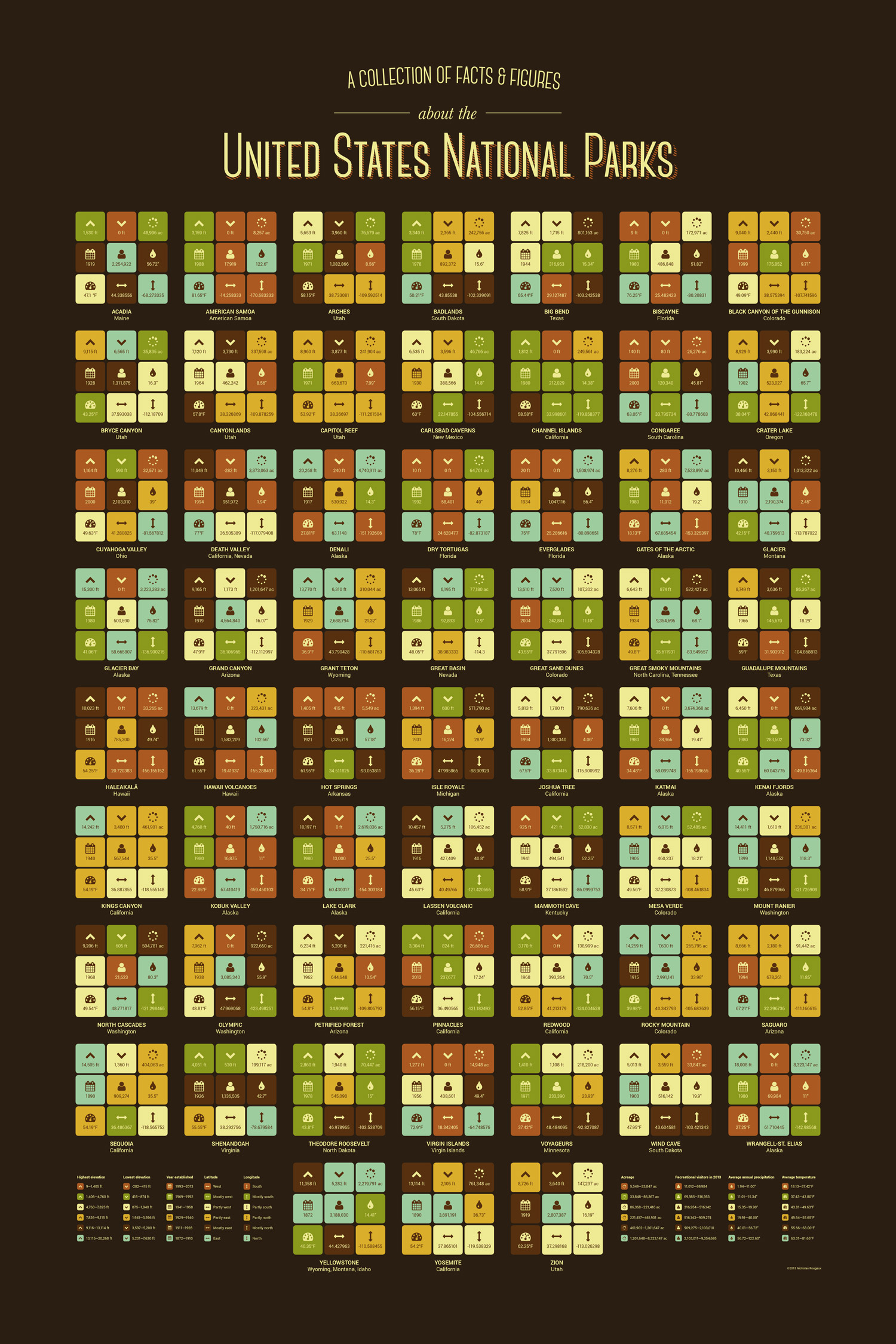
Each park is represented by a set of nine boxes representing key features: elevation (maximum and minimum), acreage, year established, recreational visitors, average precipitation, average temperature, and geographic coordinates (latitude and longitude). Parks are displayed alphabetically and color-coded by their ranking for each feature. The result is unique patchwork identities for each park. Data were painstakingly collected from a wide variety of sources, including the National Park Service.
This poster is not affiliated with or endorsed by with the National Park Service.


